South East of Mount Jackson ridge, Antarctica. By Euphro [CC BY-SA 2.0]
We might think that exploring Antarctica, one of the most inhospitable regions of the world, is something that has no relevance to us or future generations. According to Martin Siegert, we couldn’t be more wrong.
narrated by Angus Waite
music by Dexter Britain
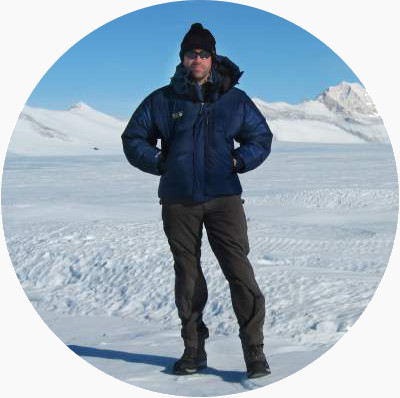
Martin is a Professor of Geosciences and co-director of the Grantham Institute for Climate Change at Imperial College London. His research, in the field of glaciology, involves acquiring data from unexplored parts of Antarctica and exploring Antarctic subglacial lakes for signs of life. He is well known among his students for telling the best stories about Antarctic explorers.
More than 2300 years ago, in a time when much of the world was unknown to Europeans, Greek philosopher Aristotle hypothesized that a substantial southern land mass in the southern hemisphere was necessary to balance the continents in the North. The idea of the imaginary land ‘Antarctica’ was so influential that 15th- to 17th-century maps commonly included a significant body of land across the southern hemisphere, based on no actual information!
The first major piece of knowledge about Antarctica wasn’t formed until the late 18th century with the three circumnavigation voyages of Captain Cook. Specifically, his failure to discover Antarctica during his second voyage demonstrated that open ocean lay where maps had predicted Antarctic land. The proposed outline of Antarctica was thus pushed much further south, but it wasn’t ruled out. Finally, after centuries more of discovery and exploration, in 1895, a group of Norwegian explorers became the first to set foot on the Antarctic continent.
The International Geophysical Year, 1957, was the herald of a major phase of glaciological discovery, using geophysical techniques to measure the depth of the ice for the first time. Chief among these was seismic surveying.
Seismic surveying is a process where acoustic or sound waves emitted near the ice surface, usually in the form of a controlled explosion, are reflected off the base of the ice sheet and measured upon their return to the ice surface. As the velocity of sound in ice is known, the time taken between the explosion and the recording of the reflected waves can be converted to ice depth.
This method is very good for measuring ice thickness, but it has a big limitation: the amount of time needed to acquire a single point of data. To do the experiment, each seismic charge must be set in a borehole around 40 metres deep, next to another hole of similar depth where seismometers measure reflected waves. Drilling two holes and performing the experiment takes at least a day. A geophysical transect involving maybe 20 data points will need a full season of 2 to 3 months. Despite this, seismic profiling was used extensively in the International Geophysical Year, demonstrating that the continent was a single body of land, and that the ice was over 4000 metres thick in some places. Still, there had to be a better way to collect data about ice thickness.
In the 1950s, Gordon Robin, an Australian physicist and long-term director of the Scott Polar Research Institute in Cambridge, had perfected the art of seismic surveying on ice as part of his doctoral research. By using aircraft-mounted equipment to perform radio echo-sounding, rather than explosions conducted on the surface, Robin increased the rate of ice thickness data acquisition by at least five orders of magnitude, and was thus responsible for one of the 20th century’s major scientific breakthroughs. Between the late 1960s and early 1980s, the technique was fine-tuned, and applied to measure approximately 40% of the Antarctic Ice Sheet; a profound phase of discovery. Lakes were identified beneath the ice along with an appreciation of the sub-ice continental landscape, involving hitherto unknown mountains and valleys that testify to processes of change dating back many millions of years.
In more recent times, several programmes have unveiled over 400 lakes beneath the ice, some of which leak their water to form ever-changing rivers flowing over hundreds of kilometres. They have also discovered mountains ranges, from which our comprehension of Antarctica’s role in the tectonic evolution of the planet has improved. And finally, these recent discovery missions have improved knowledge of the ice sheet at its boundary with the ocean — and this is where things get serious for us all.
The Antarctic Ice Sheet is known to be losing mass in several places. This is due to it melting because of relatively warm ocean water in contact with the grounded ice sheet. In such places the ice sheet rests on a bed several hundred metres below sea level, and slopes down, back toward the ice sheet centre. Thus, as the grounded part of the ice sheet retreats, it does so over an increasingly deeper bed, which accelerates the ice loss. This situation has led some scientists to believe that irreversible change in the Antarctic has already begun, with huge implications for global sea levels. Antarctica holds so much ice that, if melted, sea levels would rise by around 60 metres. The rate of sea level rise from the Antarctic Ice Sheet is likely to be no more than 1 metre per century, but such an increase would lead to the submerging of many low lying regions of the world by 2100.
Our knowledge of the Antarctic continent is a direct result of the exploration that precedes us. Yet, we still know little about so much of it. There are two places, for example, where one can stand on the Ice Sheet and be over 200 kilometres from a single point of data. Given the role Antarctica might be about to play in the history of this century, it does seem amazing that we know far more about the surfaces of the Moon and Mars than we do about the underside of the Antarctic Ice Sheet.
Something similar:
by Ian Ashpole
Our atmosphere is dirty. I’m not talking about greenhouse gases — those are a story for another day. I’m talking about tiny particles, just a few microns in size, known as aerosols. They’re so small that you can’t see them, ...
Something different:
by Tim Blackburn
We humans are probably the most widespread species on the planet. People live in every ecosystem, from tropical rainforests to the Polar regions, from coastal plains to high mountain slopes, from marshes to deserts. Yet, it was not always this ...